The 10 types of cloud you'll see in Britain (and what they tell us about the weather)
Richard Webber takes a look at the most common clouds you'll spot in the skies above Britain.

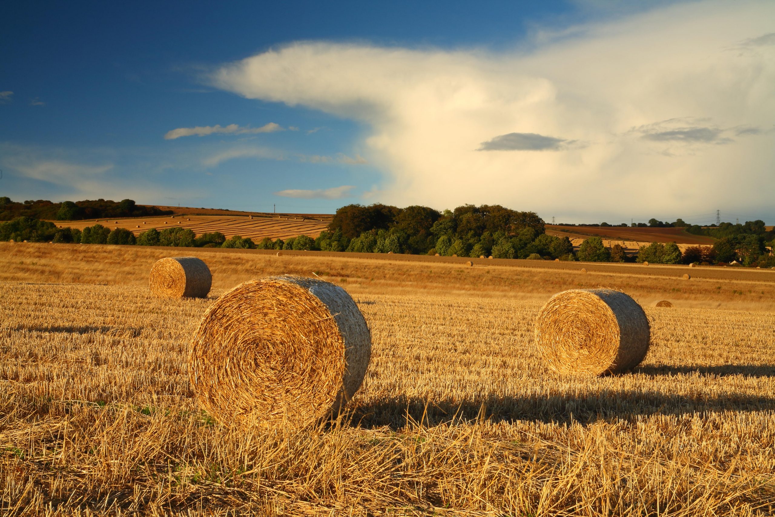
‘I was about nine and flying for the first time,’ explains author Richard Hamblyn of the moment that clouds began to dictate his life.
‘Gazing at the clouds, I started worrying about what would happen to the plane when it reached the clouds. They looked solid and I didn’t know if we’d be able to fly through them. But, to my great relief, we were soon above the clouds and experiencing a different microclimate: bright sun, incredibly blue sky and a carpet of stratocumulus clouds stretching for miles below us. It was the most incredible thing I’d ever seen and that memory has remained with me.’
True lovers of clouds can tell dozens of different types apart — and those who find them endlessly fascinating should take a look at the books of Richard Hamblyn and the website of the Cloud Appreciation Society at www.cloudappreciationsociety.org. To get you started, here are 10 of the most common you'll find in the skies above our island.
High clouds (base above 20,000ft)
Cirrus
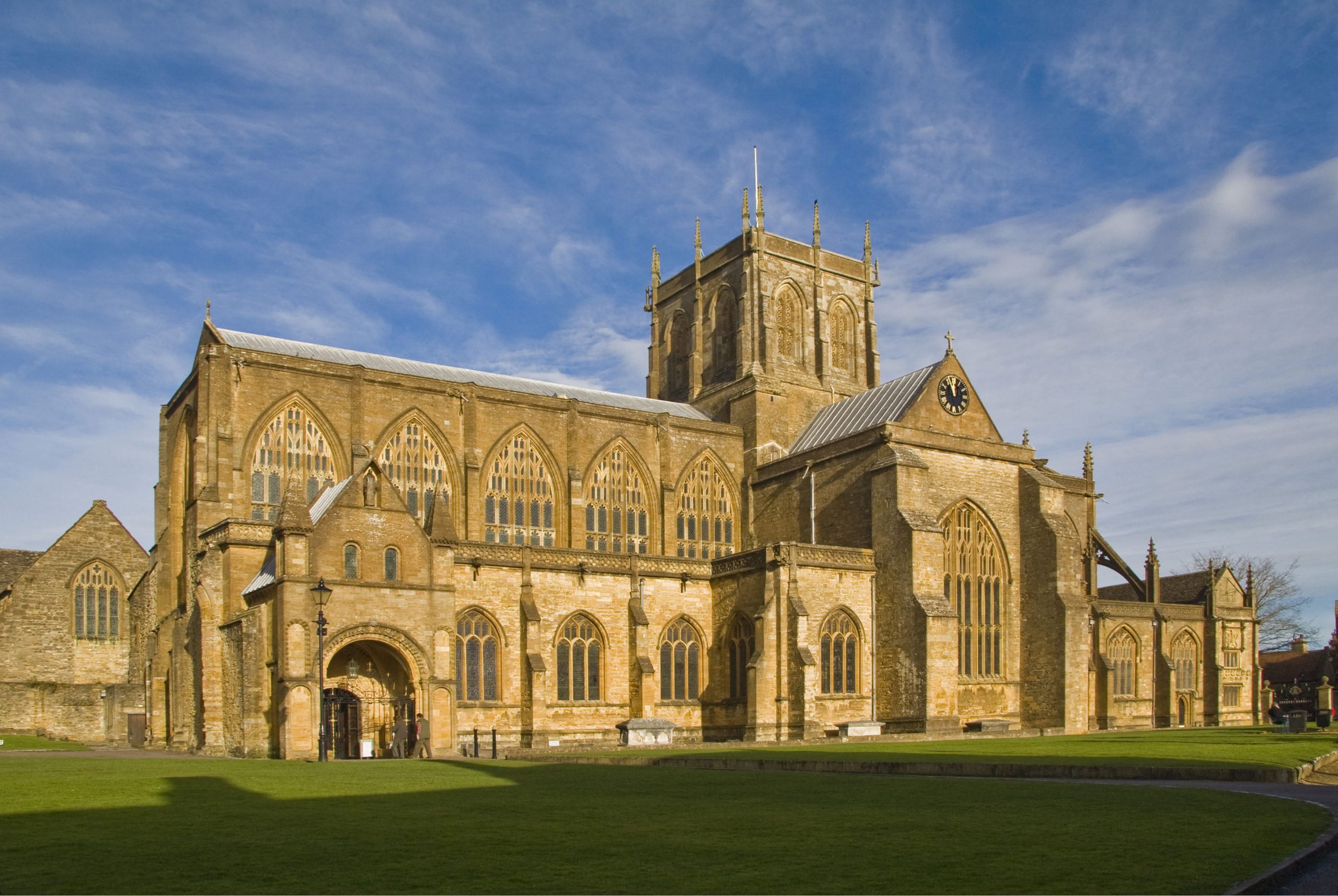
Often indicate a change in the weather is coming. Although they release precipitation, the drops re-evaporate before reaching the ground.
Cirrocumulus
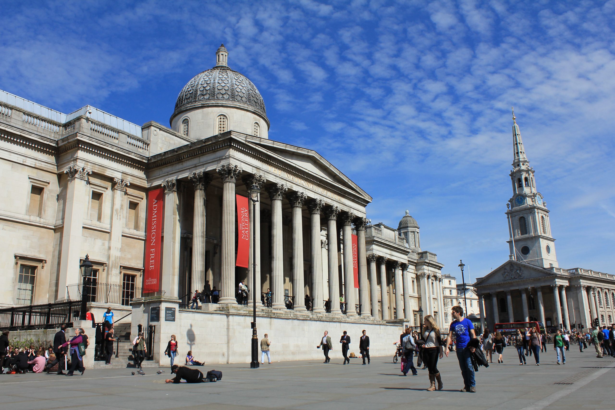
Usually associated with fair weather, although their appearance can often be before stormy weather.
Cirrostratus
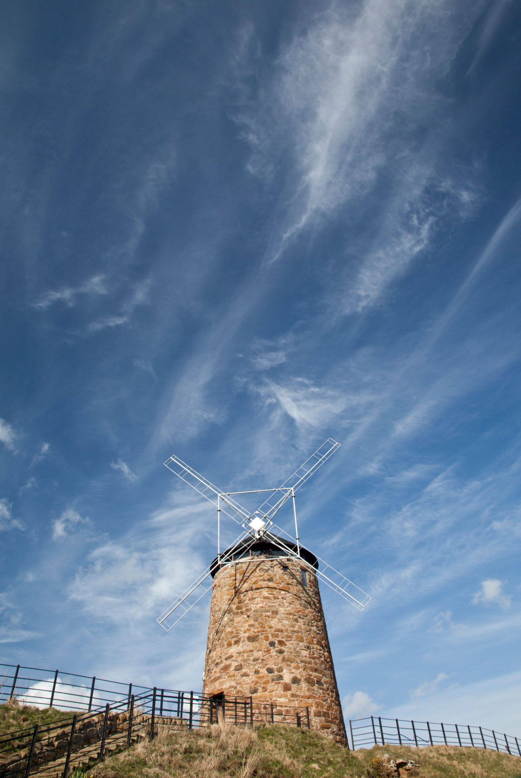
Made of ice crystals, this thin sheet of cloud usually indicates a warm front is approaching and a change of weather is expected soon.
Medium clouds (base 6,500ft–20,000ft)
Altocumulus

Usually seen in settled weather. Precipitation is rare, but if it does fall, it never reaches the ground.
Exquisite houses, the beauty of Nature, and how to get the most from your life, straight to your inbox.
Altostratus
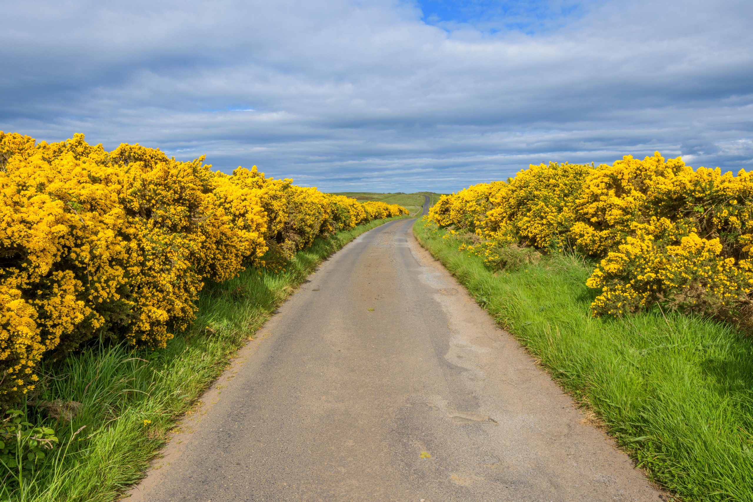
A near-featureless sheet of cloud often precedes a warm front and usually indicates a change in the weather is close.
Nimbostratus
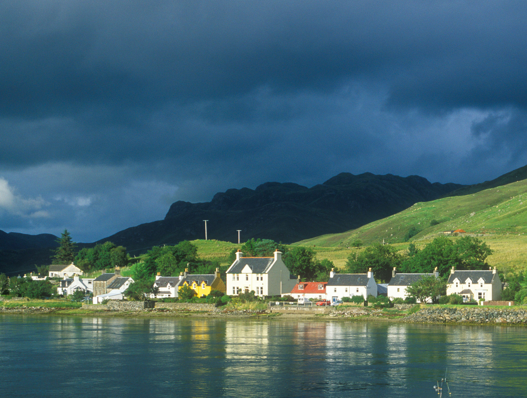
These dark, grey, featureless clouds are usually accompanied by moderate rain or snow, lasting several hours.
Low clouds (base below 6,500ft)
Stratocumulus
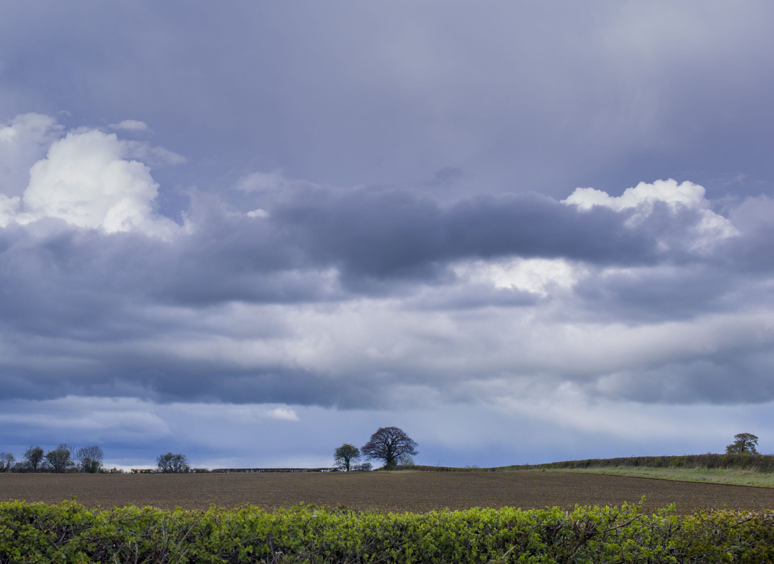
Clumpy clouds that can be seen in all weather conditions. Colours range from white to dark grey, yet it’s rare that they produce anything but light drizzle.
Stratus
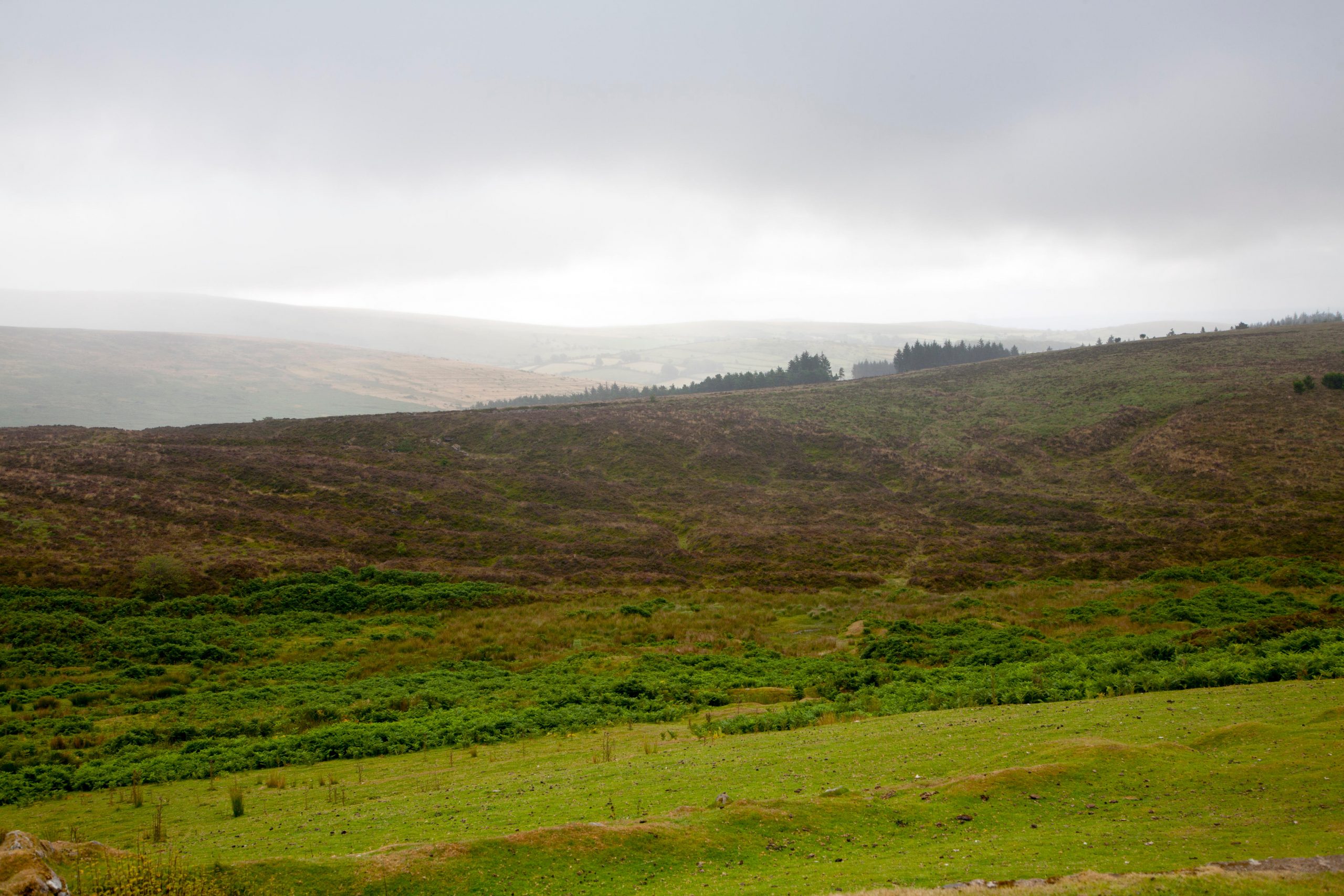
Covers the sky in featureless grey or white and is not usually associated with precipitation. However, if thick enough, expect light drizzle or snow.
Cumulus
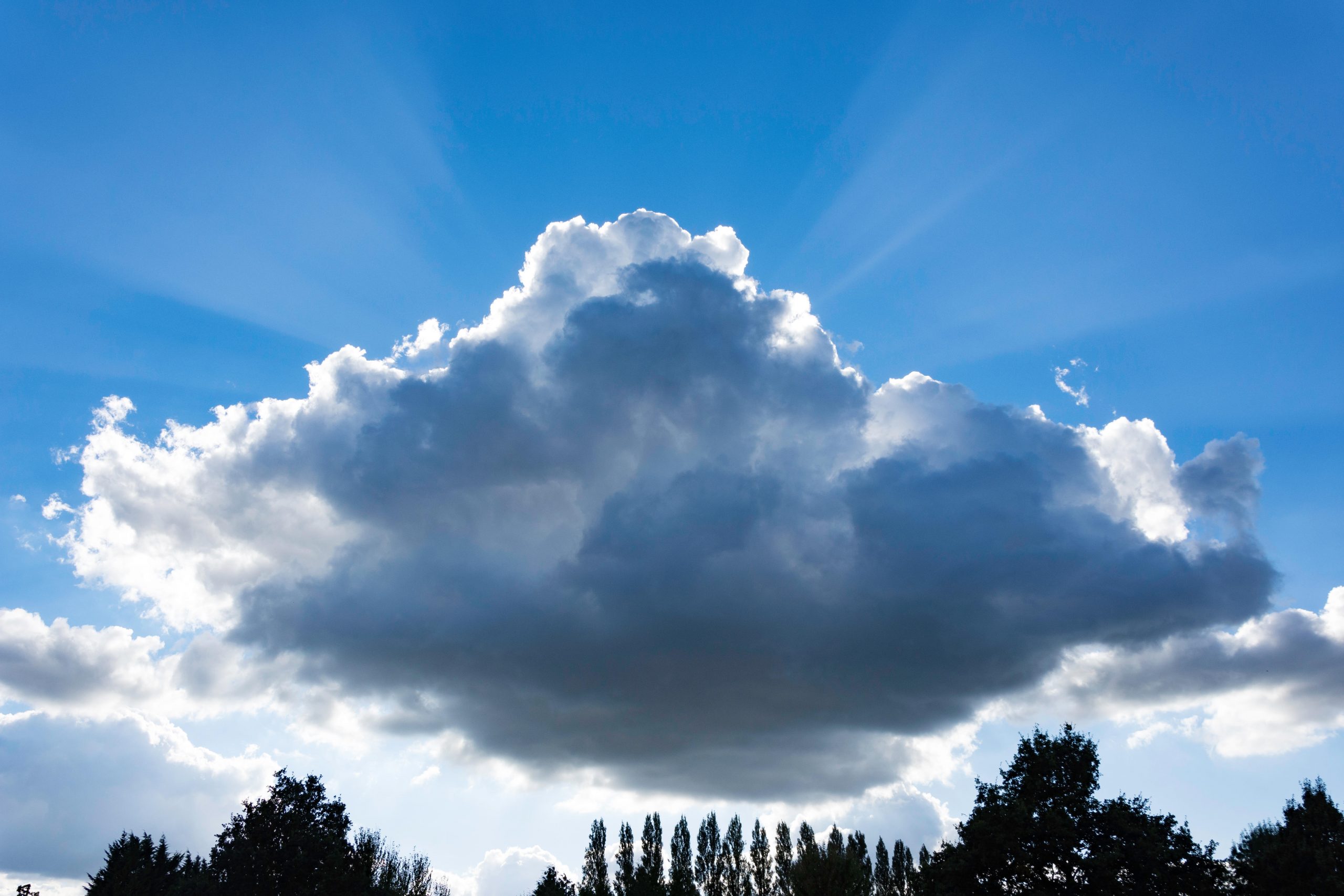
These fluffy clouds pop up on bright sunny days and are among the most common. Usually indicate good weather.
Cumulonimbus

With their distinctive, anvil-shaped top, these mighty clouds are linked with extreme weather, including torrential rain, hail and thunderstorms.
This article was originally published in July 2020.
Credit: Getty Images
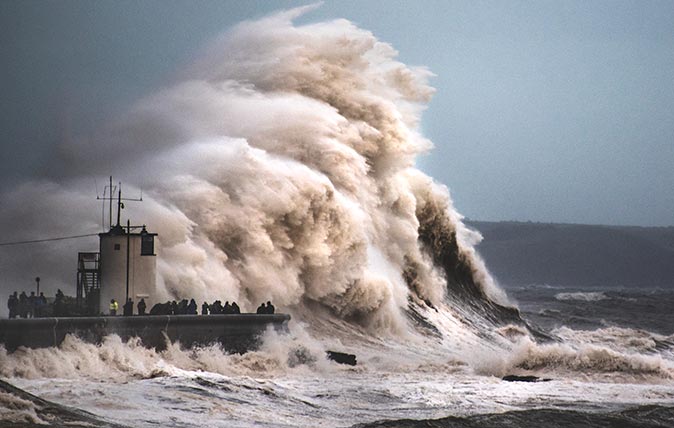
Curious Questions: Are weather forecasts really as bad as you think they are?
Weather forecasters might not always get it right, but technology is making meteorology more of an exact science than it
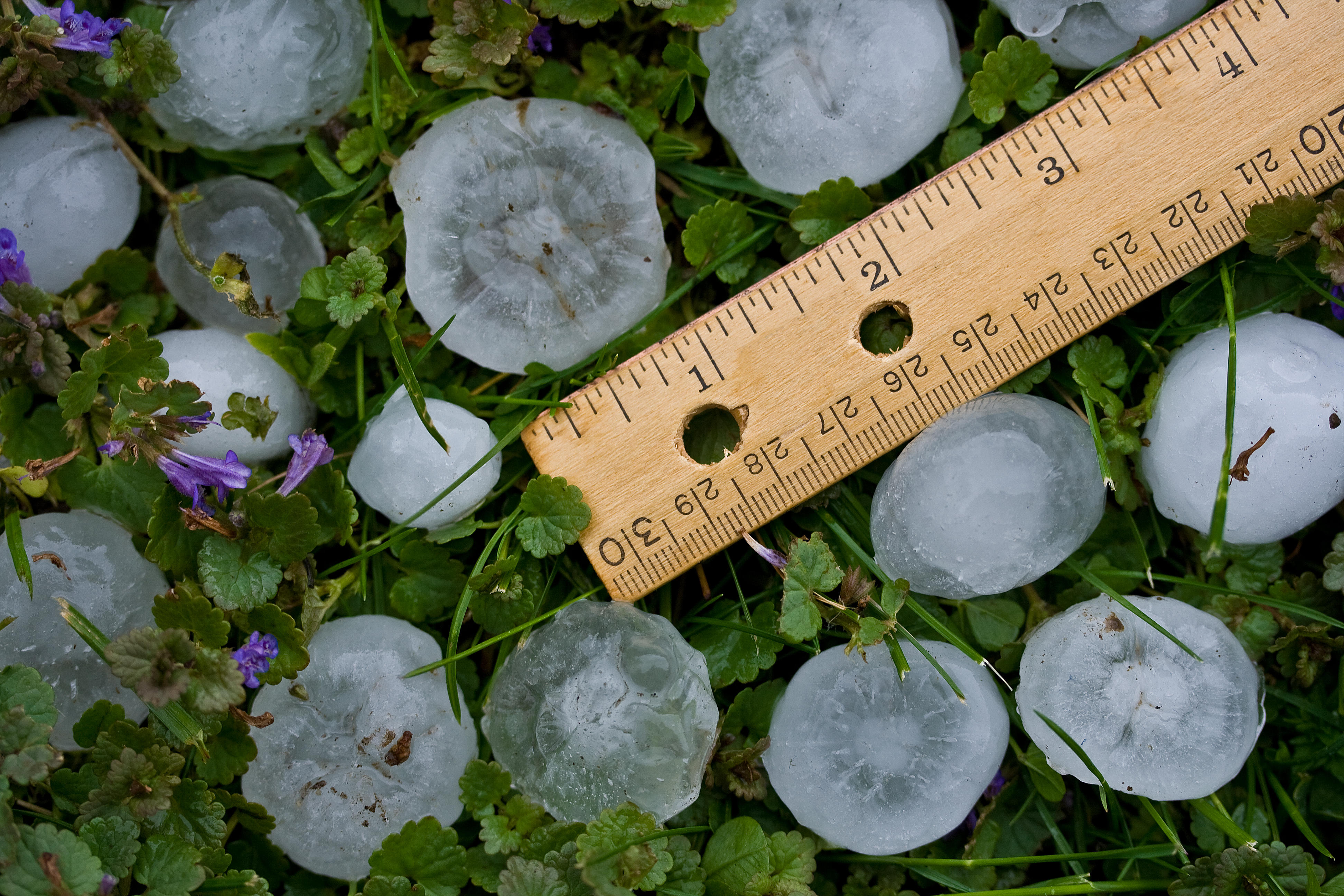
Curious Questions: How are hailstones formed? And how big can they get?
Inspired by the recent wacky weather, Martin Fone — author of 50 Curious Questions — turns his gaze to what

Credit: Getty Images
Curious Questions: Why do the clocks go forward in Spring?
As we move from Greenwich Mean Time to British Summer Time, Martin Fone ponders the reasons why — and wonders if
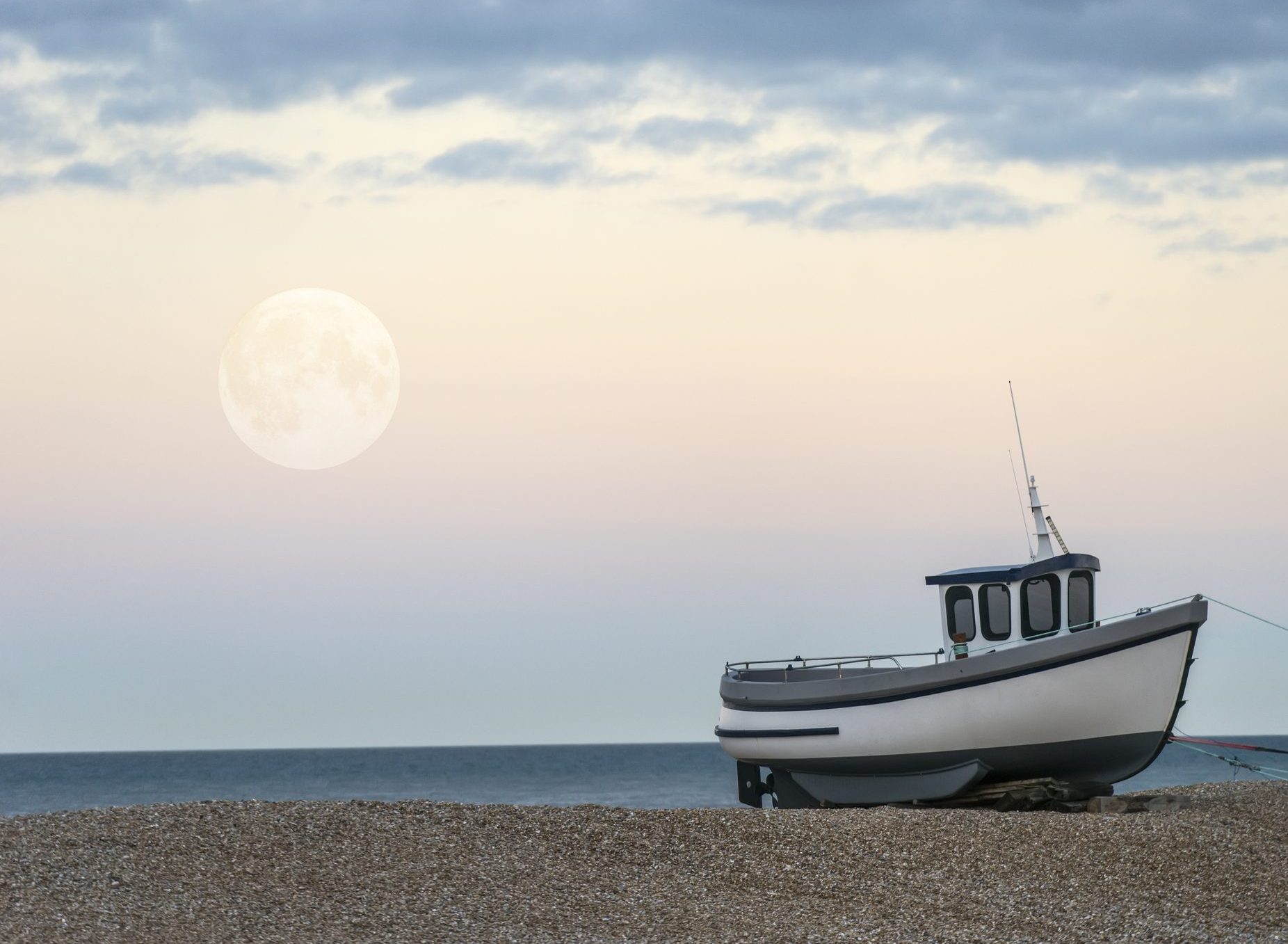
Curious Question: Why can we see the moon during the day?
For many years, Martin Fone was convinced that the moon was inextricably linked with the night. Having realised his error,
Country Life is unlike any other magazine: the only glossy weekly on the newsstand and the only magazine that has been guest-edited by His Majesty The King not once, but twice. It is a celebration of modern rural life and all its diverse joys and pleasures — that was first published in Queen Victoria's Diamond Jubilee year. Our eclectic mixture of witty and informative content — from the most up-to-date property news and commentary and a coveted glimpse inside some of the UK's best houses and gardens, to gardening, the arts and interior design, written by experts in their field — still cannot be found in print or online, anywhere else.
